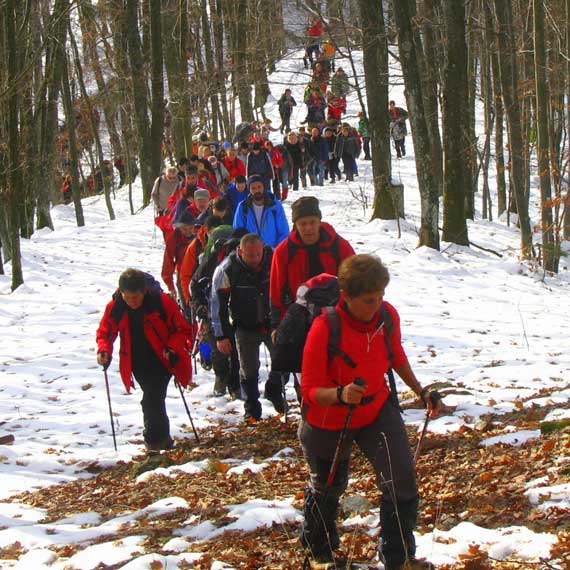
Mountaineering
Mountain climbing/hiking is a desirable form of active vacation because it includes staying and walking in the fresh air, orientation in the natural environment and knowledge of its laws. The needs of an urban man for the original and preserved nature are increasing. Hiking trips are one of the best ways to discover and enjoy nature and take a short break from everyday life. The very long tradition of mountaineering in Papuk has resulted in a diverse network of marked hiking trails which are about 200 km long, as well as the construction of six hiking facilities that offer a place to stay for numerous hikers and others who do not need luxurious accommodation. There are 24 mountaineering associations in Slavonia (from Vinkovci to Novska) with about 2000 members. The regional association of all Slavonian societies is the Slavonian Mountaineering Association.
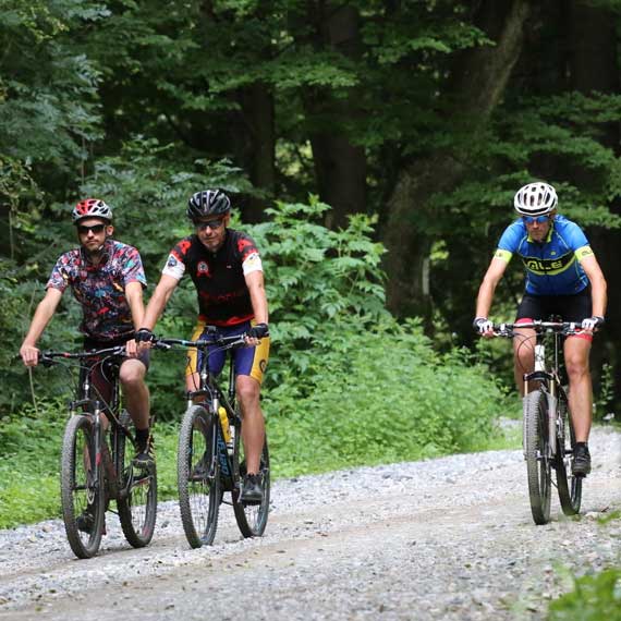
Mountain biking
Staying outdoors in the open air will definitely attract many people pursuing recreational activities who are looking for adventure. Cycling through the numerous forest paths that pass through the most beautiful areas of Papuk is a perfect way to recreate and get to know the beauty of the Park.
Here you can find the descriptions of cycling trails on Papuk, find out the basic characteristics of individual trails and if you want, download the “trail” of the track in .kml format
We hope you will choose one of the trails from our offer and enjoy your ride.
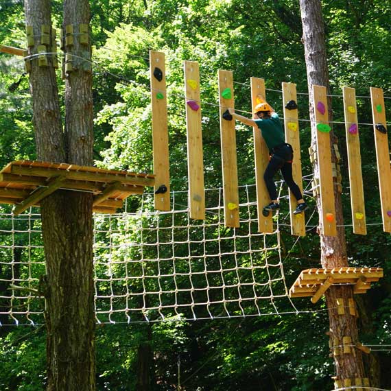
Duboka Adrenaline park
All of you looking for an adrenaline rush and good fun, you should not miss Duboka Adrenaline Park, Papuk’s new top Nature Park destination, and test your skills! The elements of the adrenaline park extend over an area of about 4000 m² in two polygons with different exercises (devices) located among the trees.
In order to have adequate content for the needs of all age groups, there is a polygon with 12 elements for adults, while another one with 9 elements is provided for children. The zip line (the trail down the cable) is especially interesting. Come and have fun in Duboka Adrenaline Park!
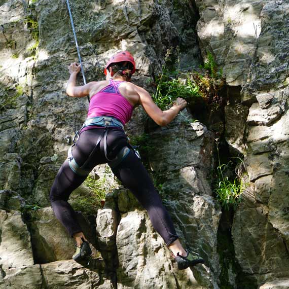
Sport climbing
Recently, the increasingly popular sport climbing has attracted a great number of adrenaline enthusiasts. Climbing is a sport in which the climber uses only his body for advancement, and the equipment is used solely for securing.
There are two climbing sites in Papuk Nature Park and, curiously, they have the same name – Sokoline. One of them is located near Velika and the other one is near Orahovica.
Climbing site Sokoline (Velika)
The distance between the church of St. Augustine in Velika and the climbing site is slightly less than 6 km and it is possible to reach the climbing site by car, since it is located almost along the forest road. The rock is made of quartzite, which means it is very solid. The total height of the rock is over 50 m, but its height is divided by several shelves. The sport – climbing directions are located on the southwestern part of the rock.
There are 10 directions with a maximum height of up to 12 m. The routes are suitable for beginners and their difficulty is rated from 4b to 5c.
Climbing site Sokoline (Orahovica)
The distance between the place where you can park your car and the center of Orahovica is about 5 km. To reach the climbing site there are another 300 meters of easy climb through the marked forest path.
This climbing path is divided into 3 sectors. One sector is on the rock on the eastern slope of Sokoline and the other two are on the rock on the western slope of Topoličko hill.
Sector A is located on the east side (closer to the parking lot) and there are 6 climbing directions of maximum length up to 15 m. The directions are suitable for beginners and slightly more advanced beginners, ranging between 5c and 6b.
Sector B has 5 directions up to 8m high, ranging from 4b to 6a.
Section C contains 7 directions of maximum height up to 12 m, ranging between 5a and 6b.

Trekking
Trekking is an increasingly popular outdoor activity that involves using your feet: walking or running on marked or unmarked trails using a map, compass, GPS or smartphone.
In order to go trekking, it is enough for you to love being outdoors, because trekking can be seen as a trip to nature with walking and rest in between. The tranquility of nature, gentle terrain for the joints and the fresh air are just some of the reasons why the increasing number of recreational athletes engage in this activity.
By using the offered trails, you will not only enjoy the fresh air while staying in nature and discovering the hidden beauty of Papuk, but also you will have the opportunity to learn something about the rich geological heritage of Papuk Geopark.
One of the most popular trekking races in Croatia is held every year on Papuk. Every year, Papuk Trek & Trail attracts more and more enthusiasts and has become a manifestation that brings together almost 1000 participants.
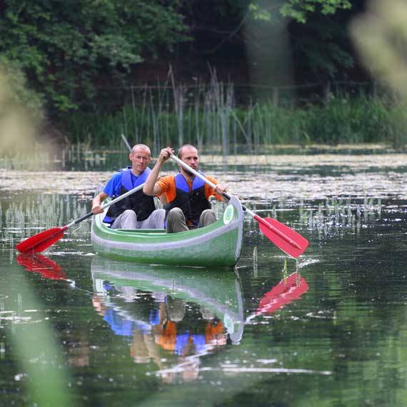
Canoeing
At any time of the year, Jankovac Forest Park will surprise you with the facilities it offers in the surrounding of the beautiful nature. Along with the popular activities such as hiking, cycling or walking, you can also rent canoes.
Canoeing across the lower Jankovac Lake is a true pleasure, and it takes you to a place where you can find genuine peace and enjoy the scent of the magical centuries-old forest that surrounds you.
There are five canoes available and each of them can accommodate three people.
Canoeing does not require any special knowledge or skills so visitors can start the relaxing ride without a guide.
Visitors are also provided with the necessary equipment – vests and helmets.
Half an hour ride costs 20 kn, and for all additional information feel free to contact Jankovac Ecopoint.
After canoeing, we offer you the opportunity to rent mountain bikes or electric bikes in order to explore bike trails.
Look for the refreshment and rest at the Jankovac Mountain Lodge.
Geocaching
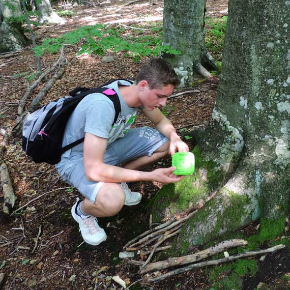
Geocaching is a relatively new kind of fun for anyone with an adventurous spirit. It is a game of “hidden treasure” hunting. The goal of the game is to find a hidden container called a geocache using a GPS device or a smartphone, and share your experience on websites.
You need a GPS device or a smartphone to participate in the “treasure hunt”. Geocaches typically contain a pen and a logbook in which you should sign in when a geocache is found. They may also contain various things to exchange. The rule is that if a finder takes any item from the box, they should leave something in return.
Before starting the treasure hunt, it is necessary to transfer the coordinates of the hidden cache from your computer to your GPS device or smartphone. For smartphones, there is also an option of downloading applications that allow this game to be played directly on a smartphone.
The central website where you can find the coordinates of all hidden geocaches and all the geocaching information is www.geocaching.com.
One of the educational programs at Papuk Nature Park – UNESCO World Geopark is a Geocaching workshop.
Horseback riding
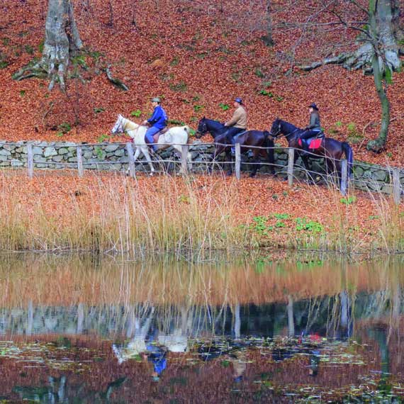
The Orahovica – Jankovac horseback riding trail is a 24.5 km one-way trail. The first half of the trail is a straight stretch, 1.5km from the junction at Borijanuša 250 m above sea level, where we turn to Viljevačka kosa and head to the next intersection above Smrdljivi Dol at 650 m. This part of the 9 km section is a continuous mild climb. After the junction to Domobranska livada at 800 metres, there is a slightly more difficult ascent of 2.5 km.
In Domobranska livada, there is a resting place with a drinking water source in the immediate vicinity, some 150 m south towards Kaptol. The path to Jankovac leads us straight to Česljakovački Vis, which is followed by a descent to Jankovac with two minor climbs. The alternative path, the Pištanska river, which is more suitable for warm weather (providing shade and a 15 km long stream alongside) has the same starting point and follows the road to Gornja Pištana. After arriving on the paved road we turn left towards Kokočak, then after 250 m turn left on the forest road at 250 metres above sea level.
We follow the road along the stream without turning for 14.5km, with a mild ascent to the point of junction above Smrdljivi dol at 650 metres, after which there is the same part of the trail as when going over Viljevačka kosa. The third option is to choose a circular path that is basically a 20 km long combination of the Pištanska River and Viljevačka kosa trails.


